Real millimetre widths, shown live
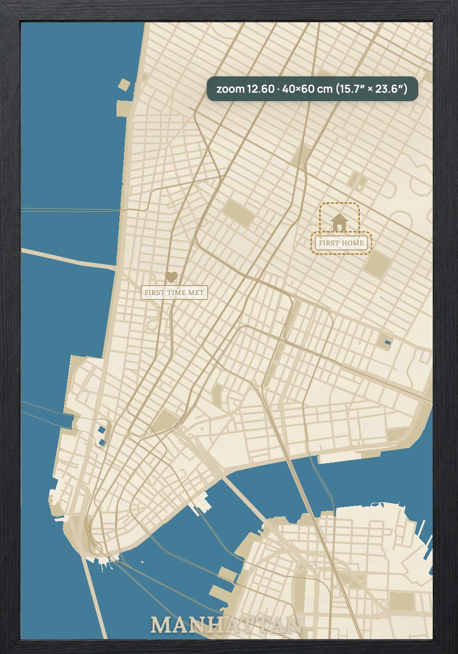
Set your board size and the map redraws at true scale, so a 30×40 cm map is measured in millimetres — never guesswork.
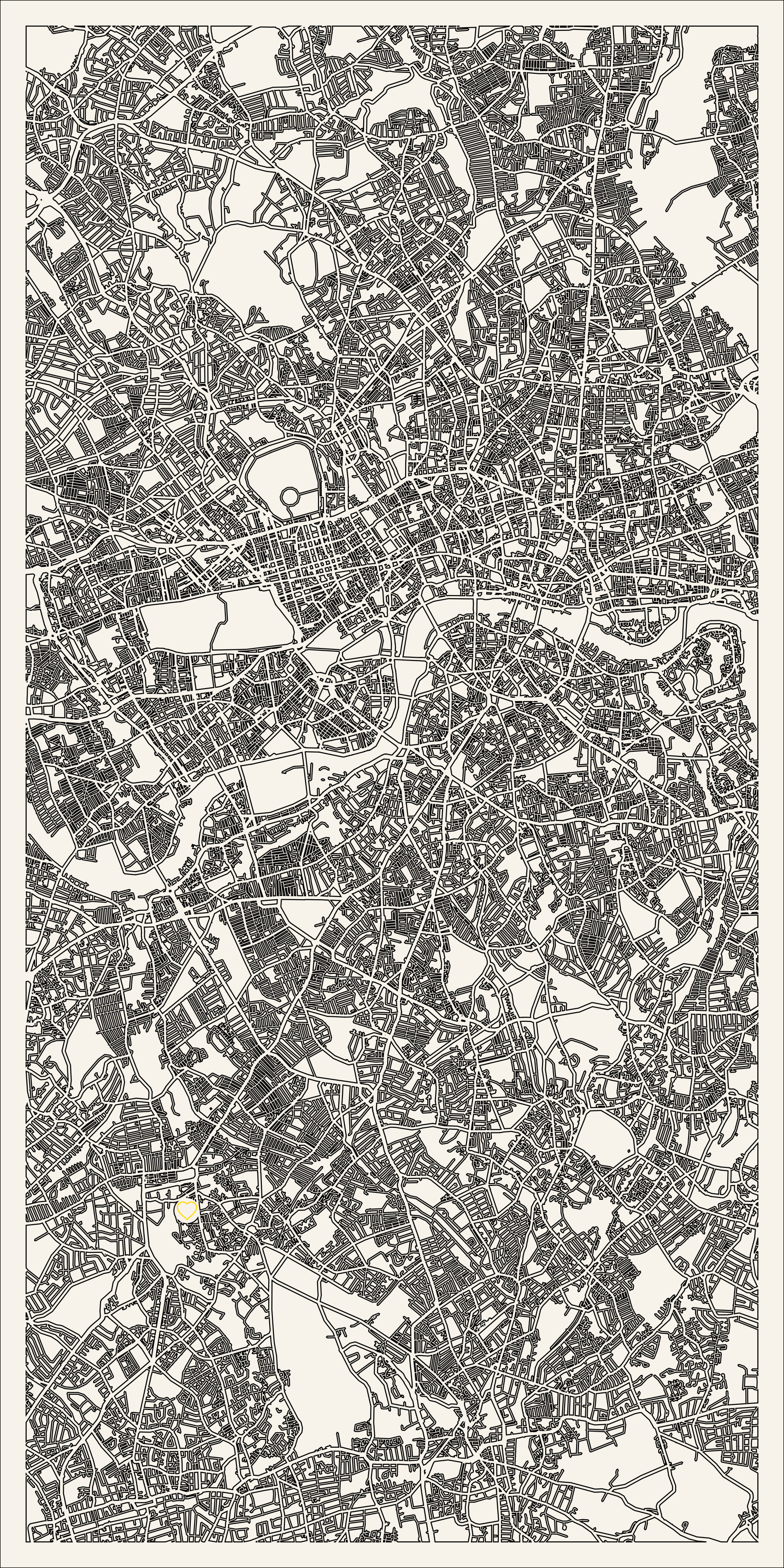
Maperivo is a laser map creator that turns any city, town or address on Earth into a clean, layered cut file — streets, water, parks, frame, pins and labels on separate named layers, ready for your laser in about five minutes.
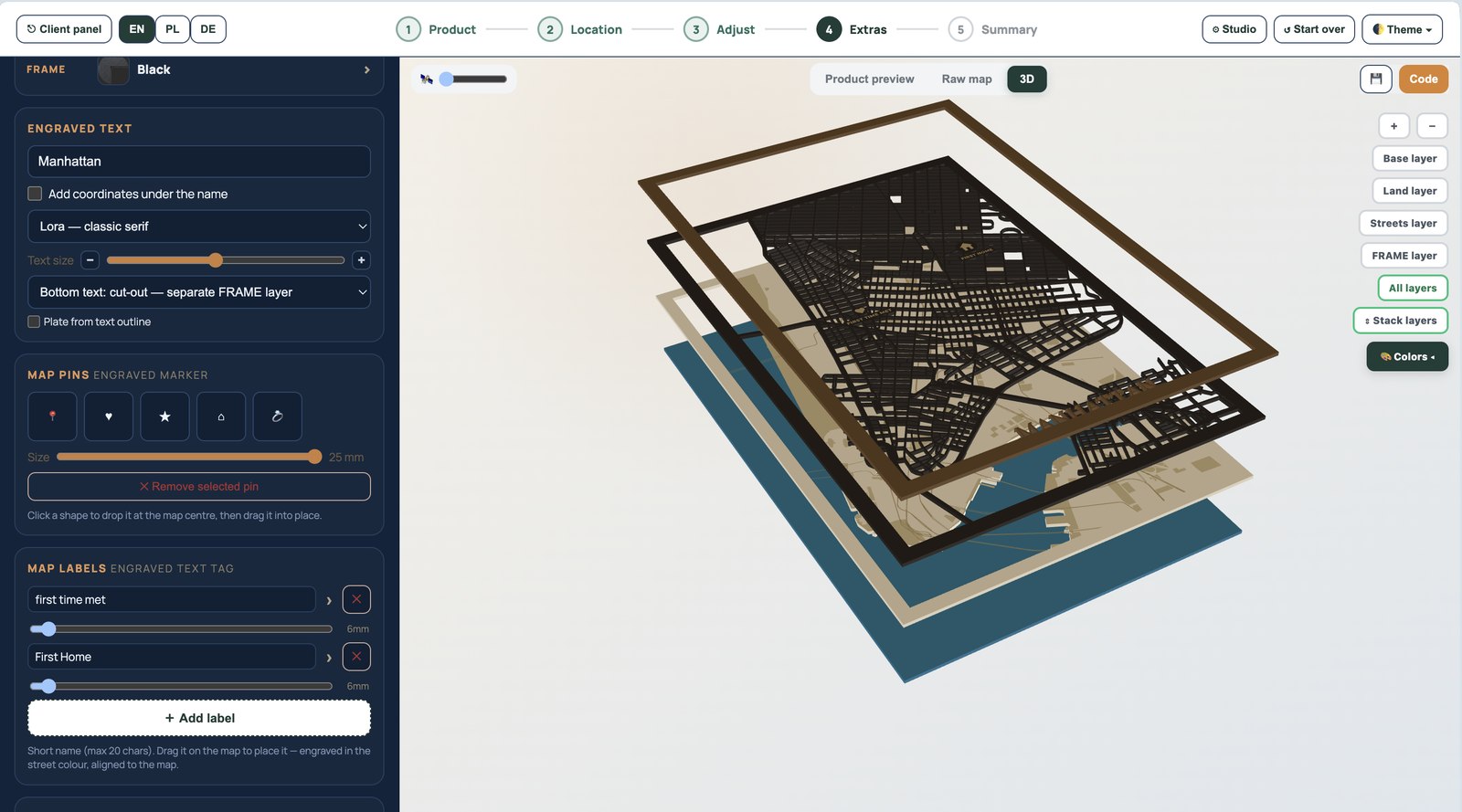
Most map tools export a flat picture or a single tangled outline. Maperivo builds a production file: every road, coastline and park sits on the right layer, at the real width your laser will cut.
Type a place, choose a size and style, and the generator renders the map at true scale. What you see on screen is the exact millimetre width the laser cuts — not on-screen pixels. Streets that are too thin to cut safely become a single-line score instead of a fragile double outline, and green areas become filled shapes that engrave cleanly. When you export, you get named CUT / ENGRAVE / WATER layers that open in LightBurn, xTool Creative Space and Glowforge with zero cleanup.
One consistent workflow from the first map search to the final production file.
Set your board size and the map redraws at true scale, so a 30×40 cm map is measured in millimetres — never guesswork.
Export a layered SVG (DXF on request) with production layers already separated and labelled for your laser software.
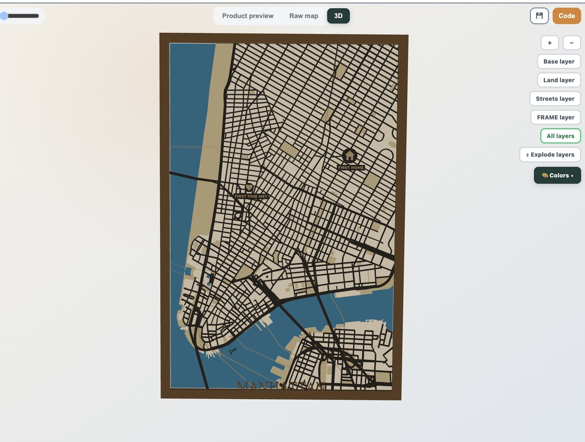
Rotate the map and separate the layers to catch a problem before it costs a sheet of material.
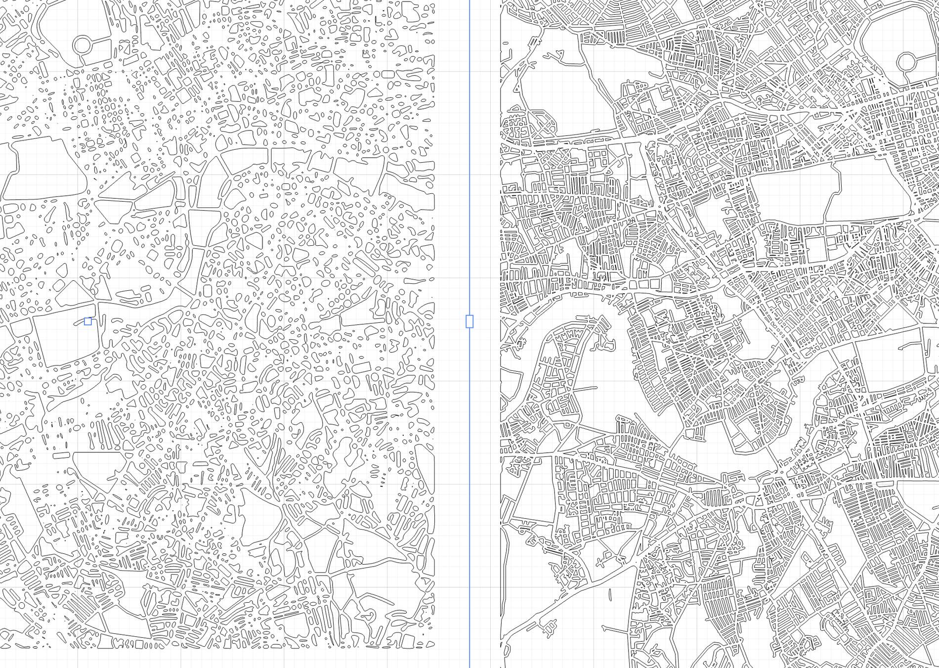
Busy centres that collapse into slivers in other tools stay coherent, with adjustable thresholds for fine roads.
3D layered, cut-out, lake depth, love-story, key holder, multi-panel splits, marathon routes and more — from one designer.

Commercial use is included on every plan, so every map you make is a product you can sell.
Prefer to let your customers do the designing? Put the same tool on your store with the store embed and receive the finished file with every order. New to this? Start with how to make a layered wood map.
Everything makers and stores ask before their first laser-ready map.
A layered SVG with named CUT, ENGRAVE and WATER layers (DXF on request). It opens in LightBurn, xTool Creative Space and Glowforge with no cleanup.
Yes. Any city, town, neighbourhood or street address on Earth, using OpenStreetMap data rendered with Mapbox.
Yes. The generator works at real millimetre scale for your chosen board size, so what you see is what the laser cuts. Roads too thin to cut become single-line scores you can adjust.
The free trial is 14 days and 50 maps, with no card. After that Starter is $10/month with unlimited maps. Commercial use is included on every plan.
Yes — that is the whole point. Green areas are filled shapes, thin roads are scores, and layers are named for your machine, so there is no manual tracing or cleanup.
Free 14-day trial: 50 maps, no card. Commercial use included.